Treavic Geosystem (TGE) provides high-resolution geophysical investigations from the ground surface and within boreholes to visualize subsurface conditions. We design each survey to meet specific objectives, leveraging state-of-the-art instruments and advanced processing techniques to deliver accurate and actionable subsurface models.
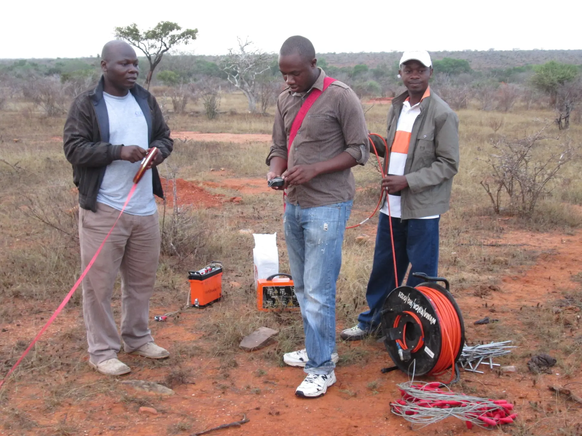
Our surface surveys provide detailed subsurface imaging using non-invasive technologies that help engineers and geologists characterize ground conditions for infrastructure, environmental, and geotechnical applications.
Using cutting-edge borehole logging technologies, we collect continuous and precise downhole data to assess lithology, fractures, groundwater flow, and mechanical properties of the subsurface.
We support geologists, engineers, hydrologists, and planners across Africa — delivering essential subsurface insights for civil works, geotechnical design, and environmental engineering.
We use advanced inversion and modeling software to process data, producing clear, detailed interpretations that guide safe and economical project decisions.
